Travel Journal: (Alaska to Loveland CO via Cassiar Highway)
![]()
![]()
Travel Journal: (Alaska to Loveland CO via Cassiar Highway) |
|
 "highway"
that is. (with all due respects to the late Karen Carpenter).
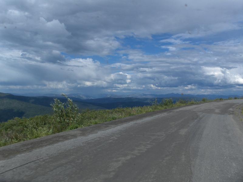
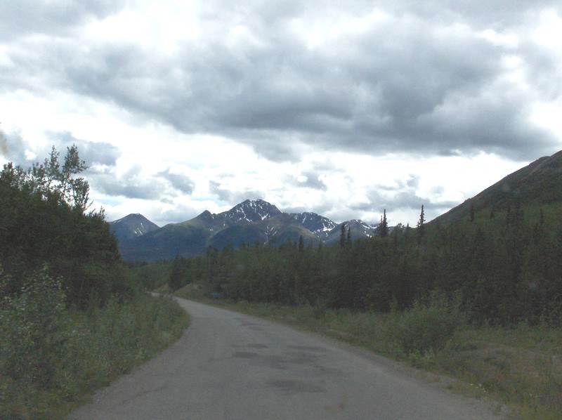
The Klondike Highway (aka: "Top of the World Highway")
runs from Tok Junction, Alaska to
"highway"
that is. (with all due respects to the late Karen Carpenter).
The Klondike Highway (aka: "Top of the World Highway")
runs from Tok Junction, Alaska to 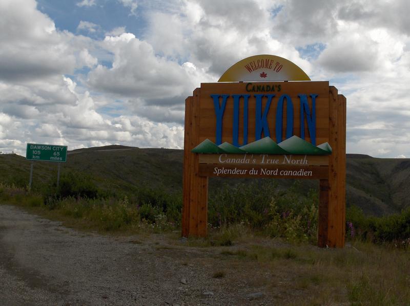 Whitehorse,
Yukon through Chicken, Alaska and Dawson City, Yukon. At first
glance on the map, you might think it is called that from where
it located, very far north on the globe. However, once you have
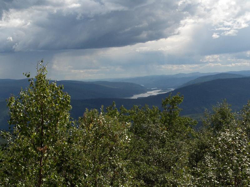
driven it, the reason becomes obvious. The route follows the ridge
lines of the hills between a couple river valleys and from many
places along the route, you can see for a long long way. You really
feel that you are on the top of the world looking down on creation.
Whitehorse,
Yukon through Chicken, Alaska and Dawson City, Yukon. At first
glance on the map, you might think it is called that from where
it located, very far north on the globe. However, once you have
driven it, the reason becomes obvious. The route follows the ridge
lines of the hills between a couple river valleys and from many
places along the route, you can see for a long long way. You really
feel that you are on the top of the world looking down on creation.
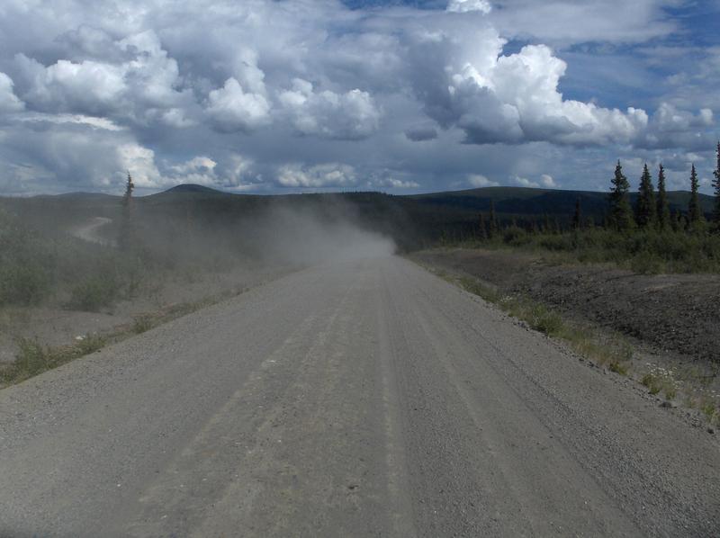 However,
the road isn't all that great, and to call it a highway is a little
bit of an overstatement. It isn't real bad, but the section of
the road from Chicken to the Canadian border is a dirt road. It
is a good, fairly well maintained dirt road, but still a dirt
road. The section of the road inside Canada from the border to
Dawson City is paved but patched in many places as well.
However,
the road isn't all that great, and to call it a highway is a little
bit of an overstatement. It isn't real bad, but the section of
the road from Chicken to the Canadian border is a dirt road. It
is a good, fairly well maintained dirt road, but still a dirt
road. The section of the road inside Canada from the border to
Dawson City is paved but patched in many places as well. 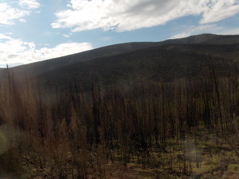 The
border is a couple little buildings high in the hills in the middle
of nowhere and only operates 8am to 8pm (AKDT) each day, and only
about half the year.
The
border is a couple little buildings high in the hills in the middle
of nowhere and only operates 8am to 8pm (AKDT) each day, and only
about half the year.
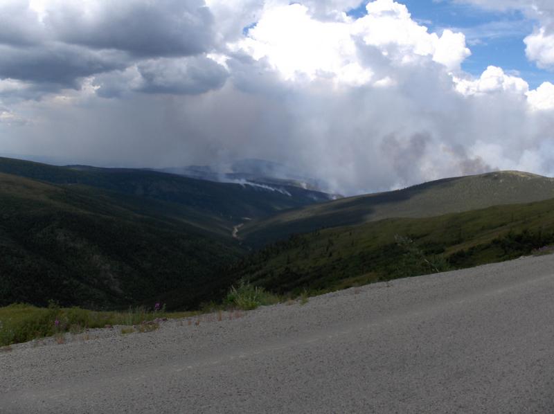
Much of the way has burnt forests from wildfires that scorched the area last year, which was a bad year for fires in this area. There was a fire burning in the distance while we were on this highway this year.
The top of the world highway uses
a ferry to get across the Yukon River at Dawson City. Our wait
for the 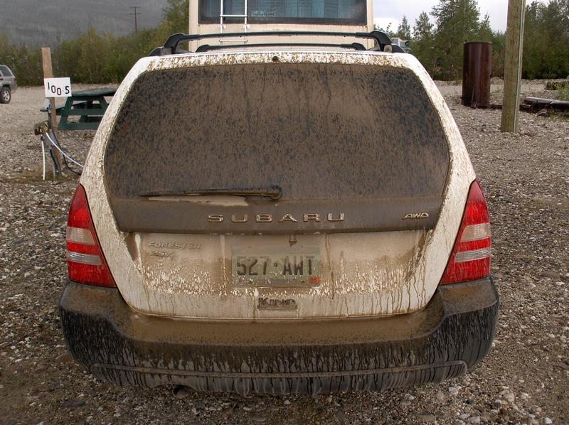 ferry
boat was about an hour long, due to other long vehicles ahead
of us in line and the limited capacity of the
ferry
boat was about an hour long, due to other long vehicles ahead
of us in line and the limited capacity of the 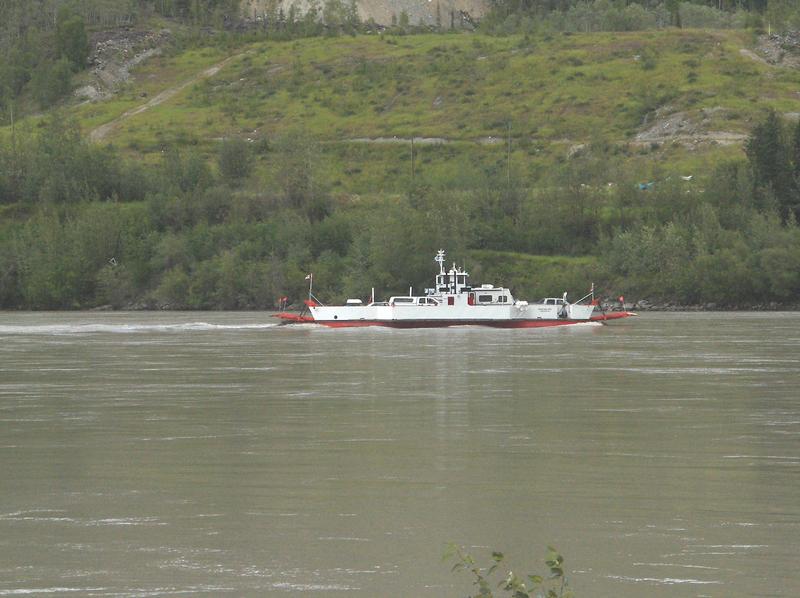
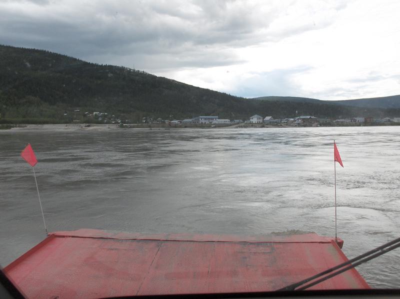 ferry
boat. By the time we got to Dawson City, over the dirt roads,
our car was plenty dirty. The combination of sections of wet muddy
roads and dry dusty roads made sure that the car had about as
much dirt as it could hold.
ferry
boat. By the time we got to Dawson City, over the dirt roads,
our car was plenty dirty. The combination of sections of wet muddy
roads and dry dusty roads made sure that the car had about as
much dirt as it could hold.
 While in Alaska, we heard from other RVers
the the Cassiar Highway is horrible and should be avoided at all
costs. One other person talked about how the rear ladder fell
off their 5th-wheel trailer due to the vibrations caused by the
bumpiness of the road. (it also had bicycles hanging on it)
While in Alaska, we heard from other RVers
the the Cassiar Highway is horrible and should be avoided at all
costs. One other person talked about how the rear ladder fell
off their 5th-wheel trailer due to the vibrations caused by the
bumpiness of the road. (it also had bicycles hanging on it) 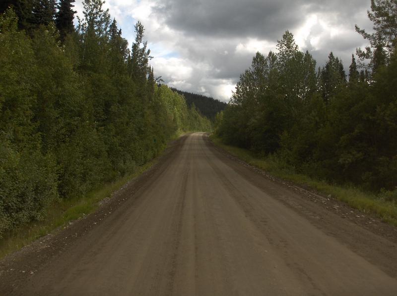 They
said that they went slow and made it sound like this was the worst
road of all roads in the area.
They
said that they went slow and made it sound like this was the worst
road of all roads in the area.
Not being one to believe everything we hear, we still took this road, partly because it went where we wanted to go to see people and places we wanted to visit, and partly to see another route between the lower 48 and Alaska. The truth is that this road isn't all that bad, and more like what we had originally expected the Alaska Highway to be like.
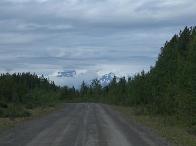
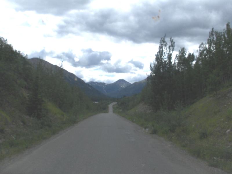 The road runs between the Alaska Highway
near Watson Lake to the Yellowhead Highway at Kitwanga. The northern
2/3rds of the road is not too hot. It is a narrow 2-lane, no-painted
lines, no shoulders road that is , mostly chip seal pavement,
which included many bumps, dips, potholes, patches and major sections
of dirt. The dirt sections were mostly well graded so they weren't
too bad. While the Alaska Highway had speed limits of mostly 100
km/hr which was easy to exceed, the northern part of the
The road runs between the Alaska Highway
near Watson Lake to the Yellowhead Highway at Kitwanga. The northern
2/3rds of the road is not too hot. It is a narrow 2-lane, no-painted
lines, no shoulders road that is , mostly chip seal pavement,
which included many bumps, dips, potholes, patches and major sections
of dirt. The dirt sections were mostly well graded so they weren't
too bad. While the Alaska Highway had speed limits of mostly 100
km/hr which was easy to exceed, the northern part of the 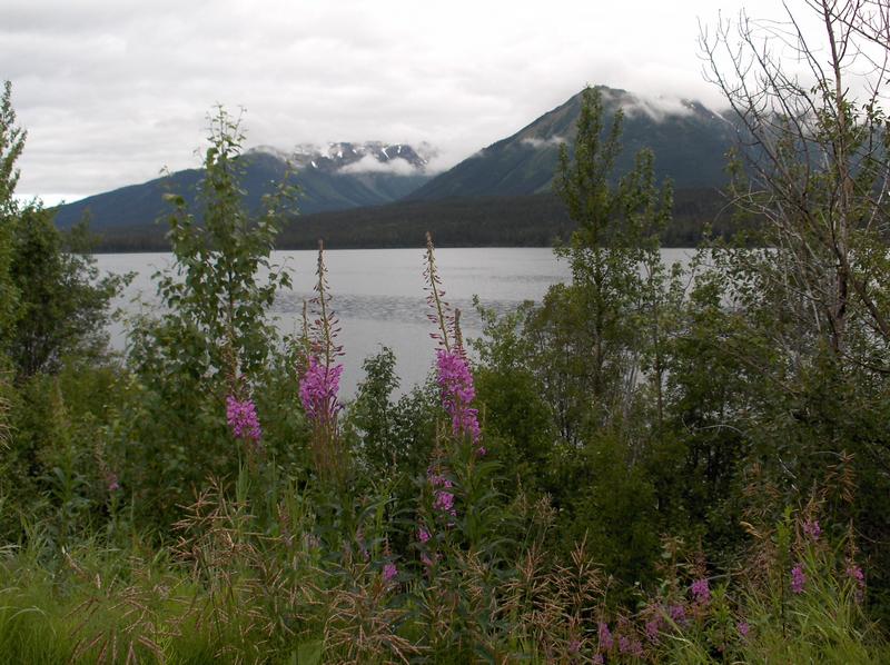
 Cassiar
Highway had speed limits of 80 km/hr, which was rarely met. Often
you couldn't get above 70 km/hr, and 50 km/hr was pushing it in
some unpaved sections. However it looked like construction equipment
and large trucks had no trouble going faster. The southern couple
hundred kilometers of this road was very good (smooth paving,
lines, some shoulders, few potholes and patches).
Cassiar
Highway had speed limits of 80 km/hr, which was rarely met. Often
you couldn't get above 70 km/hr, and 50 km/hr was pushing it in
some unpaved sections. However it looked like construction equipment
and large trucks had no trouble going faster. The southern couple
hundred kilometers of this road was very good (smooth paving,
lines, some shoulders, few potholes and patches).
The road is pretty, with a nice view here and there of mountains, streams, and lakes, however the cleared right-of-way isn't as wide as the Alaska Highway one was, so the trees often block the views. We would drive this route again in a heartbeat, but then maybe we like the ruggedness of it all. High-speed highways are for getting somewhere fast. Roads like this are for seeing some back country.
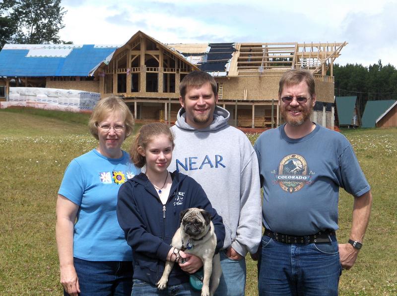 We had another chance to visit with a relative
on this portion of the travels. Our nephew, Ryan, is working this
summer as a volunteer at Rock Nest Ranch. This camp is located near
Houston, BC, which was along the way down through Canada on our
way back to the lower 48 states. This is a Christian camp that
is aimed at native youth, ages 9 to 12, from places nearby. He
gave us a nice tour of the camp and we had a chance to eat lunch
with him there. The only bad thing was that it was a rainy day
while visiting him. For some reason, it has been rainy almost
all the time we have been in Canada. From the sounds of what the
temperatures have been like in Colorado while we have been gone,
we need to soak it all up while we can.
We had another chance to visit with a relative
on this portion of the travels. Our nephew, Ryan, is working this
summer as a volunteer at Rock Nest Ranch. This camp is located near
Houston, BC, which was along the way down through Canada on our
way back to the lower 48 states. This is a Christian camp that
is aimed at native youth, ages 9 to 12, from places nearby. He
gave us a nice tour of the camp and we had a chance to eat lunch
with him there. The only bad thing was that it was a rainy day
while visiting him. For some reason, it has been rainy almost
all the time we have been in Canada. From the sounds of what the
temperatures have been like in Colorado while we have been gone,
we need to soak it all up while we can.
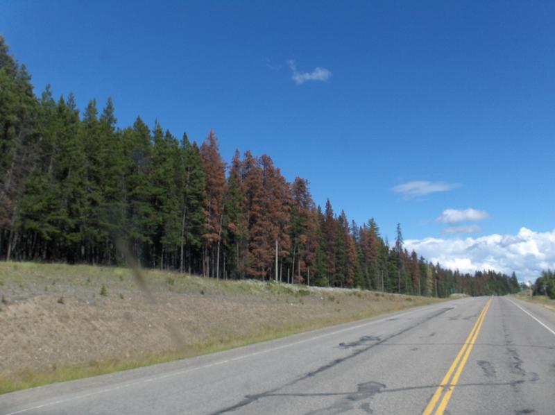 While traveling south, the night time hours
started getting longer (it was actually starting to get dark at
night). Also the trees were getting taller, and there was a significant
amount of beetle kill in the forests.
While traveling south, the night time hours
started getting longer (it was actually starting to get dark at
night). Also the trees were getting taller, and there was a significant
amount of beetle kill in the forests. 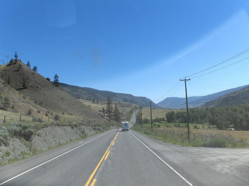 Until now, the roads have been relatively
sparsely traveled. Once we got near Prince George, traffic was
noticeably heavier. This has continued on the roads South toward
the US border. On the day following our stay in Prince George,
the weather turned to all sunshine, not a cloud in the sky. As
we traveled south the weather stayed that way and got hotter.
We must be getting close to the US. Surprising to us, the terrain
also turn dryer in this portion of the trip.
Until now, the roads have been relatively
sparsely traveled. Once we got near Prince George, traffic was
noticeably heavier. This has continued on the roads South toward
the US border. On the day following our stay in Prince George,
the weather turned to all sunshine, not a cloud in the sky. As
we traveled south the weather stayed that way and got hotter.
We must be getting close to the US. Surprising to us, the terrain
also turn dryer in this portion of the trip.
 That night our stay was in a place in the
Hell's Gate Canyon that was highly spoken of in the Milepost.
As we approached this place from the north, the scenery wasn't
the greatest, so we wondered about how good this place was. It
turned out to be a very nice place with tall trees and lots of
space between RV spots. If it had cell phone and internet service,
it would have been perfect. The next day had very pretty scenery
through the canyon, but was rainy again. Since there wasn't any
planned stops for this day, rain while traveling is good and much
better than hot and dry.
That night our stay was in a place in the
Hell's Gate Canyon that was highly spoken of in the Milepost.
As we approached this place from the north, the scenery wasn't
the greatest, so we wondered about how good this place was. It
turned out to be a very nice place with tall trees and lots of
space between RV spots. If it had cell phone and internet service,
it would have been perfect. The next day had very pretty scenery
through the canyon, but was rainy again. Since there wasn't any
planned stops for this day, rain while traveling is good and much
better than hot and dry.
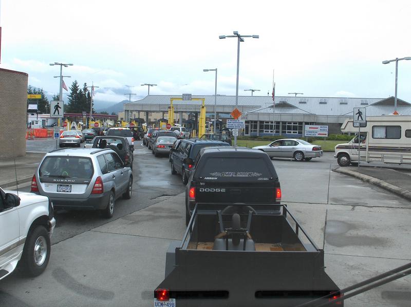 We crossed the border at Huntingdon /Sumas
at about lunchtime. While they had three of the four lanes open,
it was a slow process, and took about a half hour. This time,
the border person wasn't very happy that we didn't have photo
ID for Sara. He informed us that if you're 14 years old or older
you need to have a photo ID, and all will need passports in the
near future, but he still let us go after
We crossed the border at Huntingdon /Sumas
at about lunchtime. While they had three of the four lanes open,
it was a slow process, and took about a half hour. This time,
the border person wasn't very happy that we didn't have photo
ID for Sara. He informed us that if you're 14 years old or older
you need to have a photo ID, and all will need passports in the
near future, but he still let us go after  telling
us about this problem.
telling
us about this problem.
Our first experience back in the
USA had to do with reservations at the North Whidbey RV Park.,
near Deception Pass State Park. When Jerry made the reservations
it was for arriving on the 22nd and leaving on the 23rd. When
we checked in, the office had it as staying the nights of the
22nd and 23rd, and said that they didn't do less than 2 night
stays on weekends in the summer, which she was going to firmly
enforce, even though the web site doesn't mention this requirement
and the confirmation email didn't indicate that t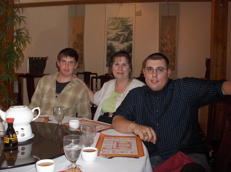 he
original request was changed. Since we already had plans for the
next night, we chose to get our money back rather than pay for
two nights there and only stay one. This left us with no where
to stay that night.
he
original request was changed. Since we already had plans for the
next night, we chose to get our money back rather than pay for
two nights there and only stay one. This left us with no where
to stay that night. 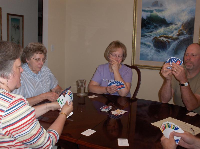 After
checking the Oak Harbor City Beach RV park, we decided that we
would go on to Vancouver after meeting up with Jerry's sister,
Sharon, and a couple of our nephews, Adam and Brian, for dinner.
We weren't able to meet up with Sharon's husband, Carlton, or
our nephew Douglas, due to them being at a scout function. Dinner
was great, but we then had a 4.5 hour drive to Vancouver after
that. This made for a long day, but it did turn out fine.
After
checking the Oak Harbor City Beach RV park, we decided that we
would go on to Vancouver after meeting up with Jerry's sister,
Sharon, and a couple of our nephews, Adam and Brian, for dinner.
We weren't able to meet up with Sharon's husband, Carlton, or
our nephew Douglas, due to them being at a scout function. Dinner
was great, but we then had a 4.5 hour drive to Vancouver after
that. This made for a long day, but it did turn out fine.
At this point, we are at Jerry's
mom's house for a few nights spending time with her and Jerry's
brother and his wife, Richard and Carol. The high temperature
for one day was going to be in the 90's so we took a quick trip
over to the coast have chowder at Mo's, 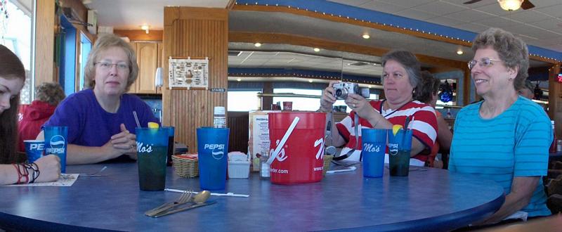
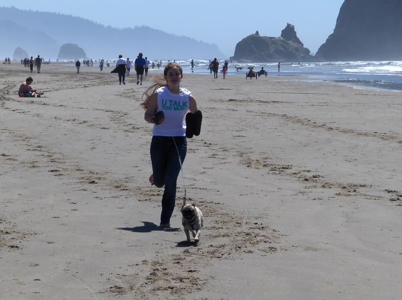 take
a walk on the beach, do a little bit of shopping, and soak up
some more cooler temps there.
take
a walk on the beach, do a little bit of shopping, and soak up
some more cooler temps there.
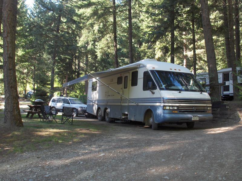
This break gives us a little bit
of time to get ready for the final segment of travel. Part of
this included rotating the tires on the Subaru. While everything
pointed to towing it all four down is ok, there is a down side
to doing that. It doesn't hurt anything, however it is wearing
out tires unevenly. The front tires are both wearing out the extreme
inside tread. In order to make sure that the tires don't totally
fail,  the decision was
to rotate them with the rear tires. It looks like we will be buying
a set of tires when we get home.
the decision was
to rotate them with the rear tires. It looks like we will be buying
a set of tires when we get home.
After this we will be traveling home by way of I84, I80 & Hwy 287. Having traveled this route many times in the past, it isn't anything exciting, and we will not be stopping at any particular sites.
![]()
![]()